Please do not light fires or BBQ’s on the foreshore or Balhaven land.
Please read the short summary on the history of Balhaven, this will give you a better understanding of the unique situation here at the foreshore.
The foreshore above Mean High Water is privately owned.
There are no public facilities available at the foreshore.
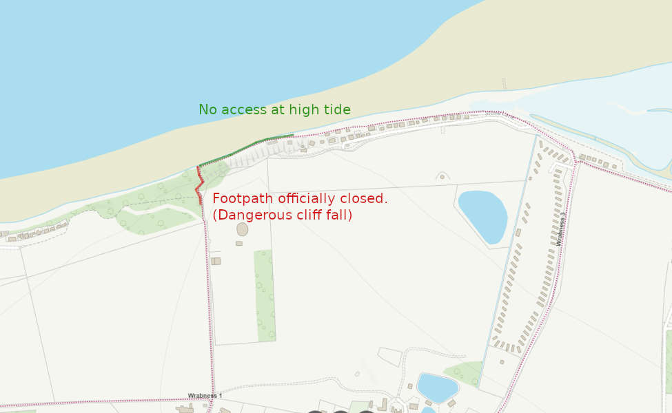
The footpath enters Balhaven land at the lower gate on Stone lane. It continues along the foreshore to the Coign, where it abruptly ends. Repeated cliff falls made the path very dangerous, so the Council officially closed the public footpath.
There is no public access through Balhaven land as a suitable diversion.
There is also no through access on a high tide. This is because the line of the official footpath is now below the high tide line due to coastal erosion. It is possible to follow the Essex way footpath via Stone lane and Church Road to the South.
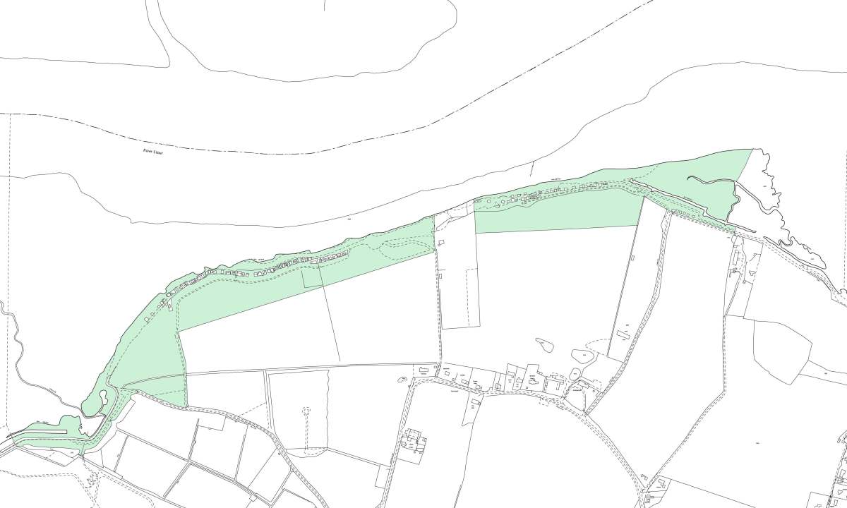
The following map illustrates the extent of Balhaven’s land ownership. The Crown Estate own the foreshore below MHW. For further clarification, please use the Crown Estate website.
At the far West of the site the footpath passes the end of Wall lane. It does not continue over the sea wall as access to the foreshore. Please use the Essex highways interactive map for clarification: https://www.essexhighways.org/getting-around/public-rights-of-way/prow-interactive-map.aspx
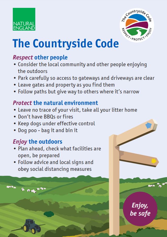
Countryside code
We strongly advise you adhere to the ‘Countryside code’ if traversing Balhaven land via the footpath to the East.